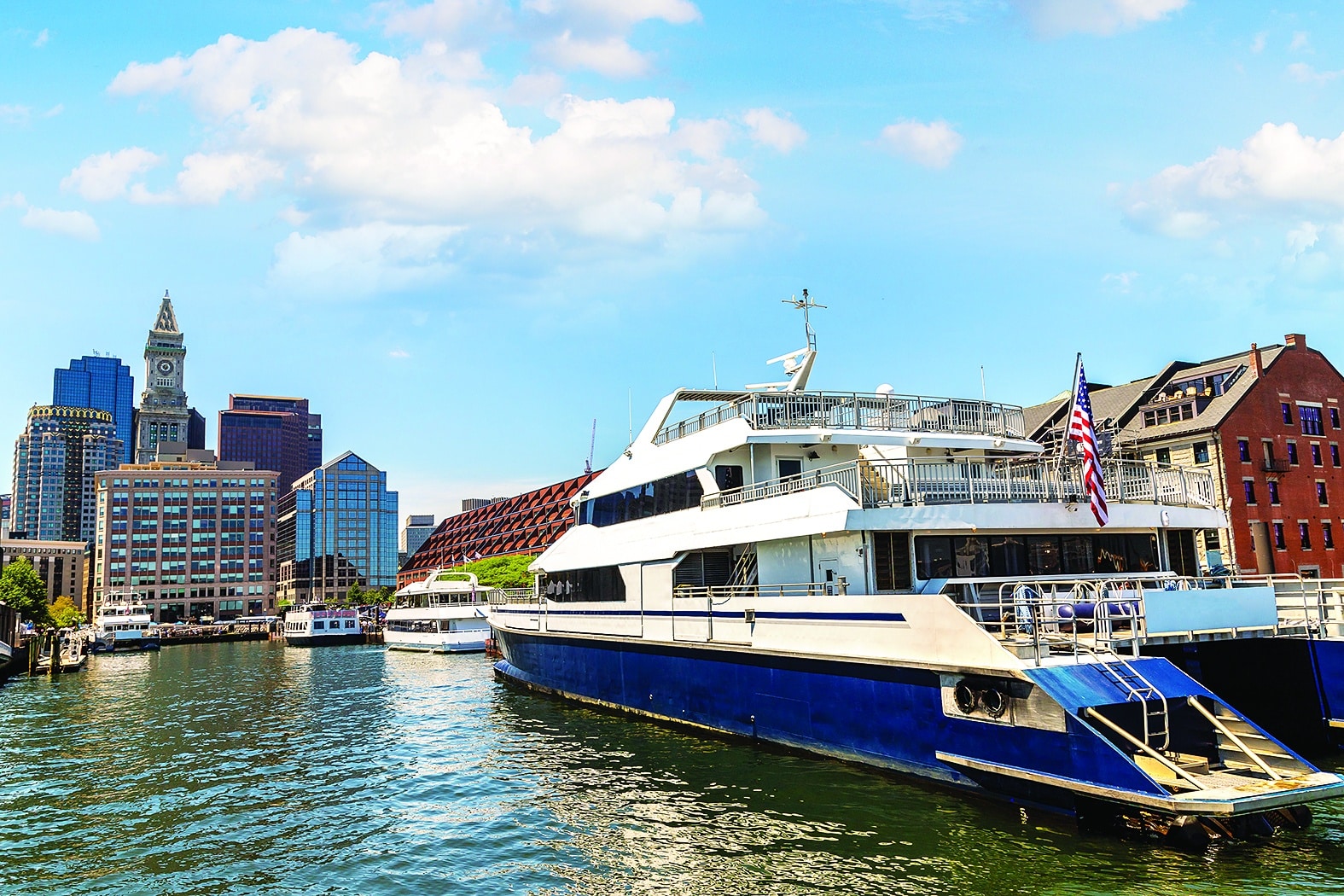
A 7,800-foot-long floor barrier along the Boston waterfront would include elevation of sections of the Boston Harborwalk and installation of new drainage systems and tide gates to protect properties from flood damages. iStock photo
Designs of an $877-million flood barrier protecting downtown Boston will proceed to the next step after receiving state funding for additional engineering studies.
The Wharf District Council, which represents dozens of downtown property owners, is coordinating planning for a 1.5-mile network of elevated seawalls from Christopher Columbus Park to Congress Street.
A $250,000 earmark in the fiscal 2024 state budget will pay for more detailed analysis of the looming threat to waterfront real estate, Wharf District Council President Marc Margulies said.
“It is money that will be very well-spent,” Margulies said. “We have wrapped up much of what we have done from the engineering point of view, and are moving into the water transit study and the permitting analysis.”
The next contract with a consulting team led by Arup includes analysis of potential funding sources, as well as more detailed engineering designs of stormwater systems, effects on the water transportation services at Long Wharf, and whether the project requires changes to waterfront laws and regulations, Margulies said.
“There are a variety of different agencies that need to review it, and there is still some uncertainty as to what can be done through the existing [regulations] and what needs to be modified,” Margulies said.
In May, the group released a preliminary report on protecting the central waterfront from an estimated 51-inch rise in sea levels by 2070, putting properties at risk for a potential $3.9 billion in damages.
Consultants Arup recommended a 7,800-foot-long barrier at an estimated cost of $112,500 per foot. The first phase of the project, which would elevate the Boston Harborwalk and sea walls around the vulnerable flood path at Long Wharf, is estimated at $250 million.
The Wharf District Council hired the consultants to accelerate the pace of the city’s resiliency planning amid indications of growing risks to property and infrastructure, with the goal that their findings will help speed up the project timeline.
The nonprofit neighborhood association represents dozens of property owners including the New England Aquarium and Residences at the InterContinental condominiums. The state legislature earmarked $500,000 toward the original report, which also received private contributions.
Consultants analyzed climate data and detailed property information submitted by Wharf District owners to estimate the potential scope of future flooding because of coastal storms and “sunny day” tidal flooding.
The report predicts frequent flooding of Interstate 93 and MBTA tunnels by the 2040s, and inundation of parts of the Financial District by the 2060s.
Consultants focused on the Boston Harborwalk as a key component of the flood defense. The project would raise the Harborwalk by 7 to 12 inches from its existing elevations to create a unified flood barrier from the edge of the North End to Atlantic Wharf.
The Wharf District Council is seeking to have its findings incorporated into the U.S. Army Corps of Engineers’ upcoming study of Boston flooding defenses, which is expected to take at least three years to complete.
In recent years, the city has commissioned five separate resiliency studies for coastal neighborhoods from Dorchester to East Boston, including recommendations on protecting property from anticipated sea level rise through 2070.
Climate Group Focuses on Funding Question
The question of how to pay for the multi-billion-dollar resiliency projects, including those in other coastal neighborhoods, will be a focus of a newly-reconstituted advisory group.
Boston Harbor Now CEO Kathy Abbott and Brian Swett, a partner at Arup, co-chair the city’s Climate Resiliency Working Group, which is co-managed by Boston Harbor Now and the Green Ribbon Commission.

Steve Adams
The lingering uncertainty over cost-sharing and financing prompted a former legislator to suggest a similar regional governance model to the Massachusetts Water Resources Authority’s oversight of the $5 billion Boston Harbor clean-up.
Former state Sen. William Golden, in a recent guest commentary, suggested that the state legislature create a Boston Harbor Coastal Resiliency Authority to coordinate a flood defense for 15 coastal communities from Hull to Winthrop.
“We still need to figure out the governance structure. It’s an important piece of the conversation,” Abbott said. “We’ve all looked at the MWRA as a really positive example of some regional implementation working, and working really well. In this case, we need something that’s really going to be statewide, to deal with coastal issues as well as heat islands and stormwater.”
The Boston Green Ribbon Commission previously suggested a “district for resiliency improvements” that could place assessments on properties and borrow money upfront for capital projects.
Developers in the publicly-owned Raymond L. Flynn Marine Park are required to contribute to a resiliency fund, but there are no resiliency cost obligations yet for private developments in other parts of the city.