Image courtesy of Boston Planning & Development Agency
Boston officials submitted plans to state officials for a $20.5 million flood barrier that would hold back Fort Point Channel waters from inundating the Seaport District during coastal storms.
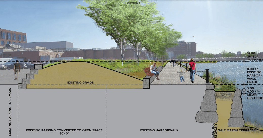
The 6-foot-tall, 45-foot-wide berm would be built from 15 Necco St. to Dorchester Avenue, protecting 31 buildings including the Gillette Co. manufacturing center, according to an environmental notification form by the Boston Planning and Development Agency.
The plans by engineers Woods Hole Group also include interim flood barriers that would be temporary installed during storms at the western end of Necco Court, and under the Summer Street overpasses at A Street and the West Service Road.
The 2,090-foot-long barrier would be constructed in three phases, beginning with a 729-foot-long segment from 15 Necco St. to the southern end of the Gillette Co. pumphouse.
The project cost would be split between the city of Boston and a $10 million pre-disaster mitigation grant the city is seeking from FEMA, a BPDA spokeswoman said.
A 2020 report by the Boston Green Ribbon Commission suggested the city create a district for resiliency improvements which could borrow money for coastal infrastructure, and be paid back through property assessments.
The city has already started requiring developers to help pay for future resiliency projects in the Raymond L. Flynn Marine Park, where a sea wall project is estimated at $108 million to $124 million.
Engineers studied but rejected the option of building a 580-foot flood gate across the mouth of Fort Point Channel near Seaport Boulevard because of higher upfront and operational costs, according to the notification form.
The channel runs along a section of the Fort Point neighborhood in various stages of major commercial development.
Alexandria Real Estate Equities and National Development are constructing a 316,750-square-foot office-lab tower at 15 Necco St., at the northern end of the seawall project.
Related Beal is proposing the 1.1 million-square-foot Channelside mixed-use project on a former Gillette Co. parking lot at 244-284 A St.
The project requires approval from 10 different local, state and federal agencies and would take approximately two years to complete.
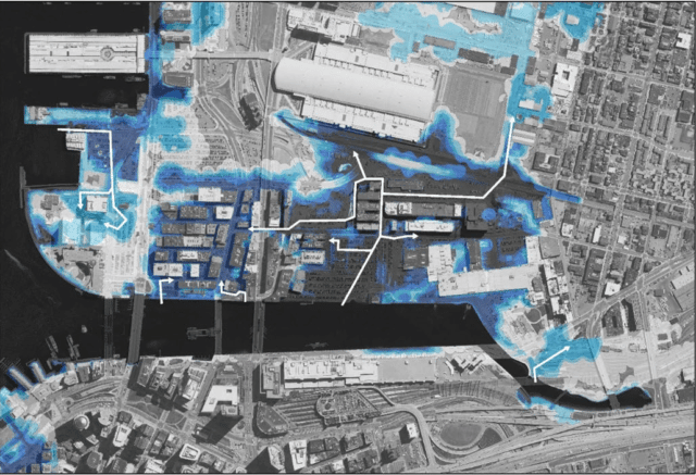
A severe storm or simply accelerating climate change could send flood waters surging up the Fort Point Channel and into dozens of commercial properties. Image courtesy of the Boston Planning & Development Agency