Image courtesy of RODE Architects, VHB and OJB Landscape Architecture
Developers of a 4-acre property on the increasingly flood-prone Dorchester waterfront are updating their plans to accommodate encroaching Boston Harbor waters.
The changes include text notifications to future residents of flood evacuation plans, elevated buildings and access roads and a dramatic increase in absorbent ground cover to absorb storm surges.
Boston-based City Point Capital and RISE Together are seeking approval for the three-building, 168,300-square-foot Neponset Wharf project including 120 housing units, office space and a 75-slip marina on Ericsson Street in the Port Norfolk section.
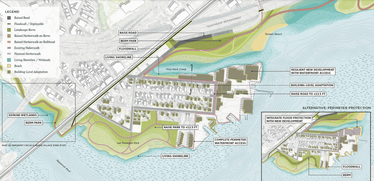
In September, the Boston Planning & Development Agency directors approved a coastal flood resilience zoning overlay district with new requirements for flood-vulnerable developments. Newly-installed Boston Mayor Michelle Wu campaigned on a Green New Deal platform including support for a new stormwater fee based upon the amount of impervious surfaces on a property, which contribute to stormwater runoff.
In a submission to the Boston Planning & Development Agency this week, Neponset Wharf developers said they will increase the permeable ground cover from 8 to 37 percent of the site, including salt water-tolerant plantings and a tidal garden.
The project, which is located within a FEMA flood plain, has been redesigned to comply with recommendations from the city’s Climate Ready Boston report for Dorchester. Residential buildings will be elevated 36.5 feet above the Boston City Base, while initially raising the access drive to 17.8 feet. As neighboring property owners elevate their sites, the access drive would be further elevated, according to the filing.