|
| 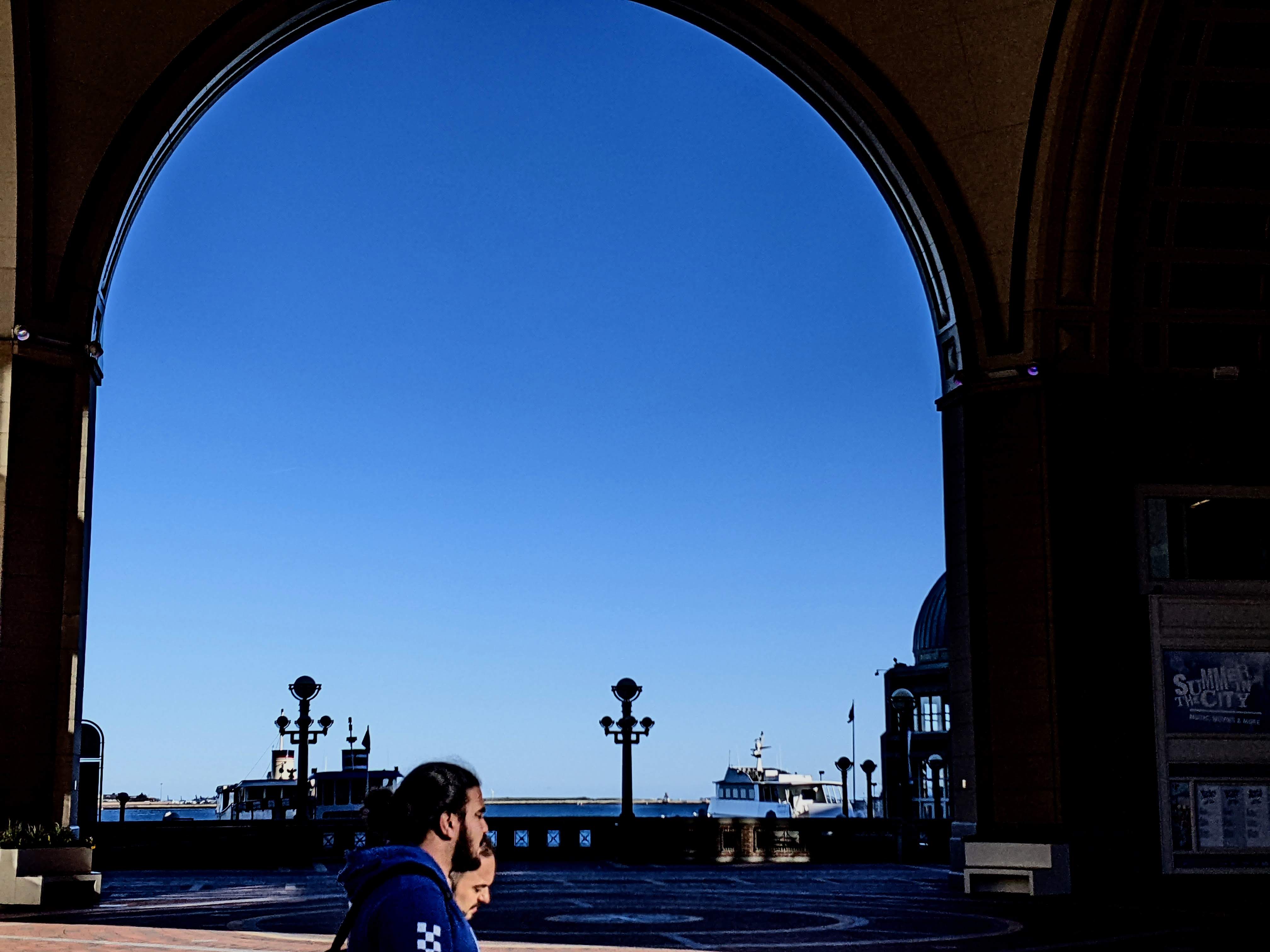
Pedestrians walk in front of Rowes Wharf in Boston. Climate studies have identified Long Wharf as a potential major entry point for flood waters to enter downtown Boston, damaging private properties and public infrastructure. Photo by James Sanna | Banker & Tradesman Staff
Protecting downtown Boston from sea level rise will require a unified barrier between the North End and Atlantic Wharf, and waterfront property owners say time is running short to choose the most effective coastal defense strategy.
A study commissioned by the Wharf District Council will recommend options ranging from a network of barriers to elevating waterfront properties to hold back rising Boston Harbor waters.
“We recognize that there are lots of other areas that need attention as well, but ours was not at the top of the city’s list to focus on right away,” said Marc Margulies, an architect and president of the Wharf District Council. “Because of the urgency we all feel, we decided to take it on ourselves.”
The Climate Ready Boston studies estimate that over 870 downtown properties are at risk from flooding related to climate change, and damages to buildings and infrastructure could reach $1.4 billion.
Researchers are studying district-wide strategies including vegetated breakwaters extending into the harbor, filling in areas around an elevated Boston Harborwalk and living shorelines that absorb water.
The city’s Climate Ready Boston studies set a timeline of 2030 for projects to begin in the downtown area, which prompted the Wharf District Council to commission its own study to accelerate the process. The nonprofit council was formed in 2010 to represent property owners, businesses and residents after completion of the Central Artery Tunnel and Rose Kennedy Greenway.
Scheduled for release in January, the report will recommend resiliency projects both for individual properties and a district-wide strategy for the roughly 0.7-mile area between Christopher Columbus Park and Congress Street.
“If we don’t do it and water gets into the Central Artery Tunnel or the MBTA stop, or fire trucks can’t get out for emergency access to a catastrophe, then we will have failed in our responsibility,” Margulies said.
Consultants including Arup, Halvorson Tighe & Bond Studio, VHB, Haley & Aldrich and Woods Hole Group are collaborating on the report, which received $250,000 in state funding obtained by state Rep. Aaron Michlewitz.
Researchers have been collecting a trove of data from waterfront property owners about existing site conditions.
Coastal storms in recent years forced the closure of the MBTA’s Aquarium station and inundated portions of Atlantic Avenue, pointing to the likelihood of more frequent and severe downtown flooding. Climate Ready Boston studies predict an additional 40-inch sea level rise by 2070.
The low-lying area around Central Wharf and the New England Aquarium has been identified as a likely entryway for flood waters to flow across the Greenway into the Financial District.
Regulators May Be Skeptical
Along with the mayor’s office, the chosen strategy would need support from multiple agencies including the Massachusetts Office of Coastal Zone Management and Army Corps of Engineers.
A preliminary report noted that hurdles to potential innovative solutions are regulations that discourage building new barriers on the water sheet or filling in parts of waterways, which could interfere with navigation or public access to the waterfront.
“Whenever you try to do something further out into the water, you encounter more challenges, because there’s a whole regulatory approach to protecting the public trust along the edge of the water,” said Bud Ris, senior adviser at the Boston Green Ribbon Commission. “That doesn’t mean you shouldn’t do it. The Wharf District Council may decide that’s a good idea, and they’ll have to figure it out.”
The study also places a priority on ensuring that resiliency projects don’t interfere with public access to the harbor.
“We’re trying to minimize the amount of seawalls that are being built,” said Kathy Abbott, CEO of Boston Harbor Now. “Under the current regulatory framework, that’s historically all we’ve been allowed to do.”
Cost-sharing for projects is expected to span public and private funding sources. Wharf District Council members are quick to emphasize that the flood barriers would protect properties well beyond the waterfront – and that the financial burden should also be spread widely.
“We know that climate change is here, and it’s dire for those of us along the waterfront, but it impacts those who are inland as well,” said Rick Musiol, vice president of external affairs at the New England Aquarium. “It’s not something that’s just an issue that is owned by the waterfront owners and managers. We certainly have a contribution to make, and we think that inland property owners need to be a part of that conversation as well.”
Children’s Museum Eyes Channel Park
On the opposite side of Fort Point Channel, a waterfront property owner has begun planning its own resiliency strategy following near-misses during coastal storms in recent years.

A resiliency plan for the Boston Children’s Museum envisions a park and living shoreline extending into Fort Point Channel to protect its Congress Street property from rising Boston Harbor sea levels. Image courtesy of Sasaki
During a March 2018 nor’easter, flood waters on Congress and Sleeper streets welled up around the Boston Children’s Museum.
“For a short period of time, the museum was essentially an island,” said Carole Charnow, the museum’s president and CEO. “This was the moment we really had to take seriously our position on Fort Point Channel and have a resiliency study.”
The museum hired Sasaki to draw up a master plan for a landscaped park extending into Fort Point Channel that would double as an absorbent living shoreline rising 4 feet above the existing Harborwalk. Elements would include fishing and kayaking areas and floating islands.
“The hope is we can build out into the channel and create a verdant living shoreline that is floodable and gradually builds up to a higher elevation,” Charnow said.

Steve Adams
The Climate Ready South Boston report, issued in 2018, recommended construction of an earthen berm along the east side of the channel at a cost of up to $139 million that would protect more than 100 buildings in the Fort Point neighborhood.
But the first phase – currently in permitting stage with the Massachusetts Environmental Policy Act office – would only protect a 2,090-foot-long section between Necco Street and Dorchester Avenue south of the museum property. The $20.5 million flood barrier runs past the Gillette Co. property and development sites owned by Related Beal, National Development and Alexandria Real Estate Equities.
Charnow said the museum has been in communication about its own plan with neighboring property owners and the city of Boston, which owns the adjacent Martin’s Park.
“One of the goals is stitching together all these various plans to ensure the water stays out and we stay dry,” she said.