




Corps of Engineers’ Flood Plan Is a Lifesaver for Boston
The risks associated with rising sea levels and stronger storms are increasing each year. A proposed plan would head that off, and open access to federal help to pay for it.
The risks associated with rising sea levels and stronger storms are increasing each year. A proposed plan would head that off, and open access to federal help to pay for it.
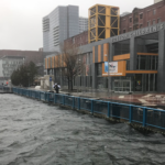
Waterfront property owners in Boston have dodged potentially devastating flooding in coastal storms over the past decade. The government’s fix won’t arrive for years.
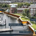
Boston is on the front line of coastal flooding, facing increasing impacts from sea level rise, storm surge, Nor’easters and frequent nuisance flooding.

Boston officials have picked the first projects to protect the city’s budgetary cash cow from rising seas. And they’ve got a 2030 deadline to build them.
With several “king tides” in the offing, a foundation is donating $10 million over the next five years to help a local lab expand its work devising defenses.

Developers behind the 6.5 million-square-foot Dorchester Bay City project are offering to take responsibility for protecting not only its vulnerable waterfront site from flooding, but large sections of surrounding neighborhoods.
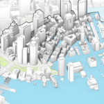
A consulting team led by Arup recommends elevating a 1.5-mile section of waterfront from Christopher Columbus Park to Congress Street to ward off sea level rise and worsening storms.

